

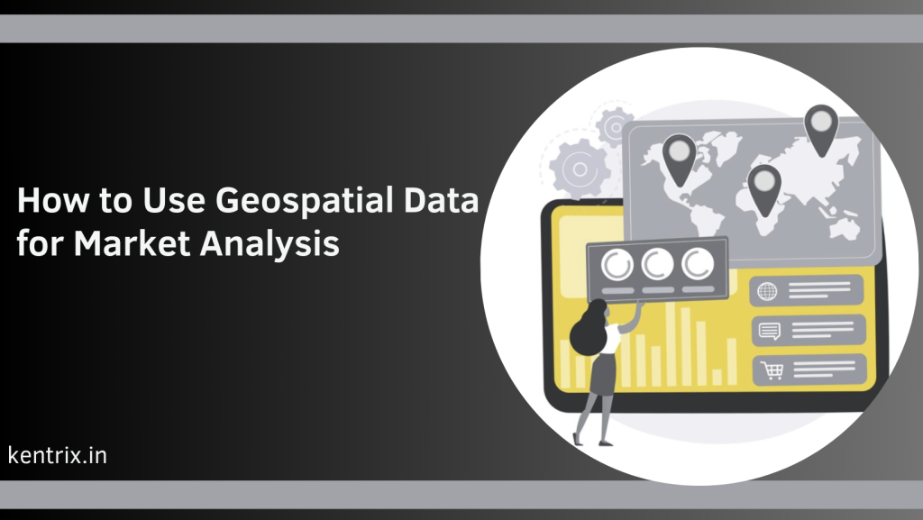
In today’s competitive business landscape, leveraging geospatial data for market analysis has become a crucial strategy for organizations aiming to gain a competitive edge. By integrating geographic information with market data, businesses can uncover valuable insights and make data-driven decisions. This comprehensive guide will delve into the various applications of geospatial data in market analysis and provide detailed steps on how to effectively utilize this powerful tool.
Understanding Geospatial Data
Geospatial data refers to information that describes the location and characteristics of natural or man-made features on the earth’s surface. This data is often collected through technologies such as GPS, remote sensing, and geographic information systems (GIS). Geospatial data can be categorized into two types: vector data (points, lines, polygons) and raster data (grid cells representing continuous surfaces).
The Importance of Geospatial Data in Market Analysis
Incorporating geospatial data into market analysis allows businesses to visualize patterns and trends that are not evident through traditional data analysis methods. By mapping market data, companies can identify target demographics, optimize supply chains, and enhance site selection processes. This spatial perspective provides a deeper understanding of market dynamics and helps in making more informed business decisions.
Applications of Geospatial Data in Market Analysis
1. Demographic Analysis
Geospatial data enables businesses to perform detailed demographic analysis by mapping population characteristics such as age, income, education, and ethnicity. This information helps in identifying target markets, tailoring marketing strategies, and optimizing product offerings. For instance, a retailer can use geospatial data to locate areas with a high concentration of their target customers and plan marketing campaigns accordingly.
2. Competitor Analysis
Understanding the geographic distribution of competitors is essential for strategic planning. By analyzing geospatial data, businesses can identify competitor locations, assess market saturation, and determine the best locations for new outlets. This analysis also aids in understanding the competitive landscape and identifying opportunities for differentiation.
3. Site Selection
Selecting the optimal location for a new business or retail outlet is critical for success. Geospatial data helps businesses evaluate potential sites based on factors such as customer proximity, accessibility, and surrounding infrastructure. By overlaying various data layers, companies can identify locations with the highest potential for success and minimize the risk of poor site selection.
4. Supply Chain Optimization
Efficient supply chain management is vital for reducing costs and improving service delivery. Geospatial data allows businesses to optimize their supply chain by analyzing transportation networks, warehouse locations, and delivery routes. This analysis helps in identifying bottlenecks, reducing transit times, and improving overall logistics efficiency.
5. Market Segmentation
Geospatial data facilitates market segmentation by enabling businesses to divide their market into distinct geographic segments. This segmentation allows for targeted marketing efforts and personalized customer experiences. By understanding the geographic distribution of customer segments, businesses can tailor their products, services, and marketing strategies to meet the specific needs of each segment.
Steps to Utilize Geospatial Data for Market Analysis
Step 1: Data Collection
The first step in utilizing geospatial data for market analysis is data collection. Businesses can gather geospatial data from various sources, including satellite imagery, GPS devices, and publicly available datasets. Additionally, companies can purchase geospatial data from specialized providers for more accurate and detailed information.
Step 2: Data Integration
Once the data is collected, the next step is data integration. This involves combining geospatial data with other relevant market data, such as sales figures, customer demographics, and competitor information. Integrating these datasets provides a comprehensive view of the market and enhances the accuracy of the analysis.
Step 3: Data Visualization
Data visualization is a crucial step in geospatial data analysis. By using GIS software and other visualization tools, businesses can create maps and charts that represent the spatial distribution of market data. These visualizations make it easier to identify patterns, trends, and anomalies, enabling better decision-making.
Step 4: Spatial Analysis
Spatial analysis involves examining the relationships and interactions between different geographic features. This step includes techniques such as proximity analysis, density analysis, and spatial clustering. By performing spatial analysis, businesses can uncover hidden patterns and gain insights that are not apparent through traditional analysis methods.
Step 5: Decision-Making
The final step is decision-making based on the insights gained from geospatial data analysis. Businesses can use these insights to develop targeted marketing strategies, optimize operations, and make informed decisions about site selection and resource allocation. By leveraging geospatial data, companies can enhance their overall market strategy and achieve better business outcomes.
Also Read: Market Research Companies in Mumbai
Tools and Technologies for Geospatial Data Analysis
Several tools and technologies are available for geospatial data analysis, each offering unique features and capabilities. Some of the most widely used tools include:
1. Geographic Information Systems (GIS)
GIS is a powerful tool for capturing, storing, analyzing, and visualizing geospatial data. It allows businesses to create detailed maps, perform spatial analysis, and integrate various data layers. Popular GIS software includes ArcGIS, QGIS, and MapInfo.
2. Remote Sensing
Remote sensing involves collecting data about the earth’s surface using satellites or aircraft. This technology provides high-resolution imagery and valuable information about land use, vegetation, and urban development. Remote sensing data can be integrated with other geospatial data for comprehensive market analysis.
3. GPS and Mobile Data
GPS technology enables the collection of precise location data in real-time. Businesses can use GPS data to track customer movements, monitor vehicle fleets, and analyze foot traffic patterns. Mobile data, collected from smartphones and other devices, also provides valuable insights into customer behavior and preferences.
4. Data Analytics Platforms
Data analytics platforms, such as Tableau and Power BI, offer advanced visualization and analysis capabilities. These platforms can integrate geospatial data with other business data, enabling businesses to perform complex analyses and create interactive dashboards.
Challenges and Considerations
While geospatial data offers significant benefits for market analysis, there are also challenges and considerations to keep in mind:
1. Data Quality
The accuracy and reliability of geospatial data are critical for meaningful analysis. Businesses must ensure that the data they use is up-to-date, accurate, and sourced from reputable providers.
2. Data Privacy
The collection and use of geospatial data raise privacy concerns, especially when dealing with personal information. Businesses must adhere to data privacy regulations and ensure that they handle data ethically and responsibly.
3. Technical Expertise
Effective geospatial data analysis requires technical expertise in GIS, remote sensing, and data analytics. Businesses may need to invest in training or hire skilled professionals to fully leverage the potential of geospatial data.
Also Read: Benefits of Real-Time Consumer Data Analysis
Conclusion
Geospatial data is a powerful tool that can significantly enhance market analysis and drive business success. By integrating geographic information with market data, businesses can gain valuable insights, optimize operations, and make informed decisions. By following the steps outlined in this guide and leveraging the right tools and technologies, companies can unlock the full potential of geospatial data for market analysis.